 LandSFACTS
LANDcape Scale Functional Allocation of Crops Temporally and Spatially
LandSFACTS is a modelling tool to create scenarios of crops or land uses within the landscape. The model provides a crop/ land use per land unit per year, which meets user-specified spatial and temporal constraints on the crops/land uses. The software is spatio-temporal and allow multi-scaling. The modelling is based on stochastic and rule-based processes complemented with simulated annealing.
The model is currently used to create scenarios of cropping systems and land uses from the farm level up to the regional scale in order to assess ecosystem services, such as biodiversity, water quality, soil erosion, carbon sequestration.
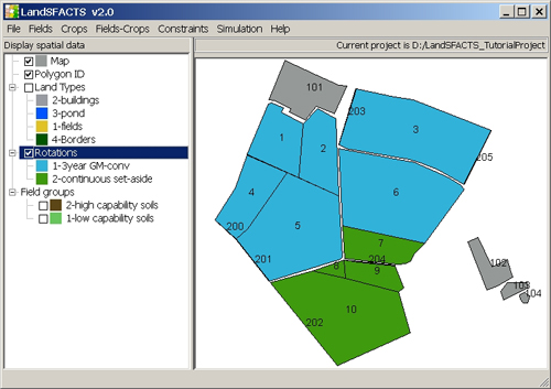
Software screenshot
Contact: Marie Castellazzi
Latest update: 08/04/11
|
Updated: 23 Jan 2024, Content by: MC
|