PREDICTING RECOVERY IN ACIDIFIED FRESHWATERS BY THE YEAR 2010, AND BEYONDContract EVK1-1999-00087 - RECOVER:2010 Part of the 'Sustainable Management and Quality of Water' Ecosystem Functioning Directorate General Research |
|||||||||
|
 The James Hutton Institute
This page is no longer updated. The Macaulay Land Use Research Institute joined forces with SCRI on 1 April 2011 to create The James Hutton Institute.
Upland Britain - Galloway
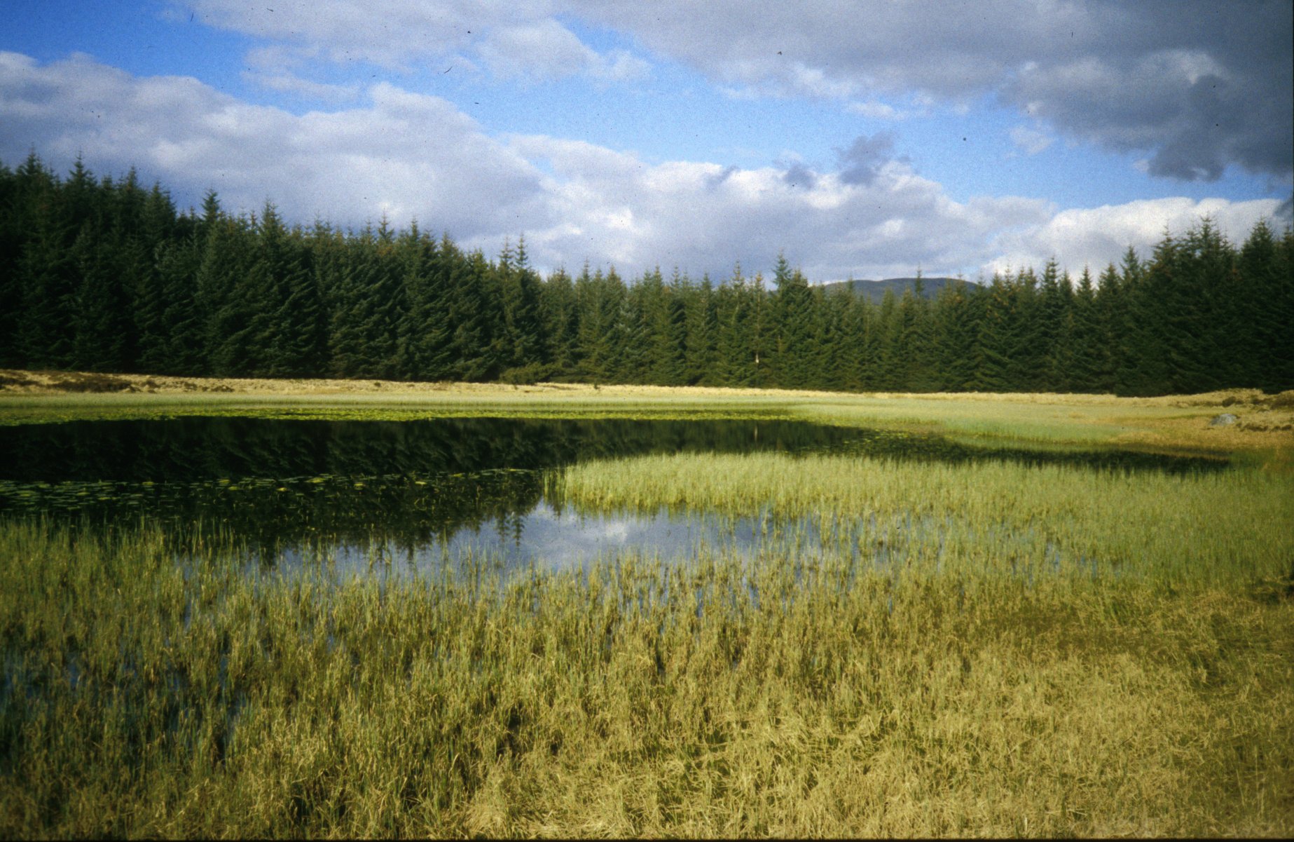 The Galloway region of south-western Scotland is a classic sensitive environment. This region is dominated by soils developed from three main geological units: (i) granitic intrusions of Tertiary age, (ii) shales, mudstones and greywacke of Ordovician age and (iii) shales, mudstones and greywacke of Silurian age. These geological types have a low capacity to buffer external acid inputs (Edmund and Kinniburgh, 1986). Soils developed from these parent
materials are categories in the Ettrick and Dalbeattie Associations that are spatially extensive throughout Galloway. In freely drained areas, soils are generally thin and consist primarily of podzols and peaty podzols, a large proportion of the uplands are covered blanket peat. The dominant land use in the upland where these soils occur is of heather moorland, molinia and extensive commercial forestry plantations. Afforestation began in the 1940s and reached a peak in the 1960s and 1970s. Afforestation has been almost exclusively with non-native conifers, sitka spruce, (Picea sitkeusis
Carrière) and lodgepole pine (Pinus contota Douglas) being the most widespread species. Acid deposition in Galloway is relatively high particularly when the dominant air masses travel from a south-easterly direction having passed the heavily industrialised areas of Britain and other parts of Europe. Consequently within this region, acidification of sensitive upland surface waters is a common occurrence. Surface water sampling began in 1979 and included 49 loch in the vicinity of the three largest granitic plutons in the Galloway region. These lochs were resampled in April of 1988,
1993, 1994, 1996, 1997, and 1998. From 1993, 10 additional lochs were included in the survey in other geological areas.
The Galloway region of south-western Scotland is a classic sensitive environment. This region is dominated by soils developed from three main geological units: (i) granitic intrusions of Tertiary age, (ii) shales, mudstones and greywacke of Ordovician age and (iii) shales, mudstones and greywacke of Silurian age. These geological types have a low capacity to buffer external acid inputs (Edmund and Kinniburgh, 1986). Soils developed from these parent
materials are categories in the Ettrick and Dalbeattie Associations that are spatially extensive throughout Galloway. In freely drained areas, soils are generally thin and consist primarily of podzols and peaty podzols, a large proportion of the uplands are covered blanket peat. The dominant land use in the upland where these soils occur is of heather moorland, molinia and extensive commercial forestry plantations. Afforestation began in the 1940s and reached a peak in the 1960s and 1970s. Afforestation has been almost exclusively with non-native conifers, sitka spruce, (Picea sitkeusis
Carrière) and lodgepole pine (Pinus contota Douglas) being the most widespread species. Acid deposition in Galloway is relatively high particularly when the dominant air masses travel from a south-easterly direction having passed the heavily industrialised areas of Britain and other parts of Europe. Consequently within this region, acidification of sensitive upland surface waters is a common occurrence. Surface water sampling began in 1979 and included 49 loch in the vicinity of the three largest granitic plutons in the Galloway region. These lochs were resampled in April of 1988,
1993, 1994, 1996, 1997, and 1998. From 1993, 10 additional lochs were included in the survey in other geological areas.
Surface water ANC is largely governed by the interaction of acid deposition, land use and the degree of buffering in catchments through mineral weathering processes. Lochs with low ANC are found in areas of granitic geology with predominately organic rich catchment soils, i.e. Merrick mountains and Cairnsmore of Fleet. These high altitude moorland lochs tend to be acidified with an ANC below 20 µeq/l. These data contrast with loch chemistry of lower altitude catchments. Lochs that are near to the coast are essentially non-acidified with ANC ranging between 100-300 µeq/l.
Distribution of catchments in the Galloway region
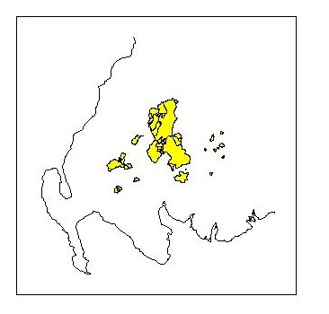
Table 1: Summary statistics for lochs in Galloway
| 10th Percentile | Median | 90th Percentile | |
| ANC | -11 | 52 | 191 |
| pH | 4.6 | 5.56 | 6.53 |
| SO4 | 69 | 93 | 153 |
| NO3 | 7 | 22 | 35 |
| Cl | 157 | 214 | 436 |
| SBC | 271 | 377 | 798 |
| NH4 | 1.1 | 1.9 | 4.5 |
| DOC | 2.6 | 5.5 | 11.2 |
All concentrations meq/l except for pH (pH units) and DOC (mg/l).
| Results from Galloway |
| For more information contact: rachel.helliwell@hutton.ac.uk |
| REGIONS |
 |
 |
 |
 |