 Catchment Management
 The James Hutton Institute
This page is no longer updated. The Macaulay Land Use Research Institute joined forces with SCRI on 1 April 2011 to create The James Hutton Institute.
Allt a' Mharcaidh Catchment: A research site of national and international importance
- Project Co-ordinator: Rachel Helliwell
- Project Officer: Sheila Gibbs
Background
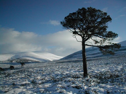
The Allt a' Mharcaidh catchment was selected in 1984 by staff at the Macaulay Land Use Research Institute as an ideal site to undertake environmental research. It has since been used for research projects by staff from other organisations including Scottish Natural Heritage, the Centre for Ecology and Hydrology, and the University College of London.
Over the years a number of different European research projects have been based in the Allt a' Mharcaidh including; Surface Water Acidification Programme (SWAP), ECOMONT, DYNAMO, RECOVER:2010 GLORIA and EUROLIMPACS. The catchment is part of several international monitoring networks including SCANNET, GLORIA, ICP-Waters and ICP-Integrated Monitoring. At a national level, valuable long term datasets have been collated at the Allt a' Mharcaidh as part of the DEFRA funded, UK Acid Waters Monitoring Network, UKAWMN (1988 - present). Stream flow rate and water quality measurements of the Mharcaidh burn, along with freshwater invertebrate records are made as part of the freshwater monitoring, coordinated by SEPA. The site is a freshwater as well as a terrestrial ECN site.
Monitoring in the catchment
All monitoring conforms to agreed standard protocols for measuring key environmental variables. The core measurements made by staff at the Macaulay are listed below:
Access to Environmental data
Data available depending on nature of usage. If you require data please contact us outlying your area of interest so we can meet your specific needs.
|
Updated: 23 Jan 2024, Content by: RH
|